Iceland Day 2

My neighbor Jim said that when they went to Iceland they only had 4 hours of sunlight, so they had to pack everything in to such a short day. We had 23 hours of sun and could pack a lot of things in!

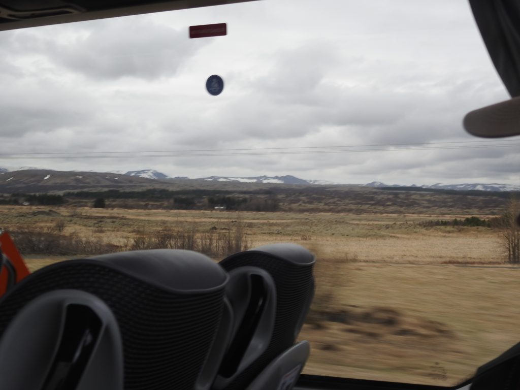
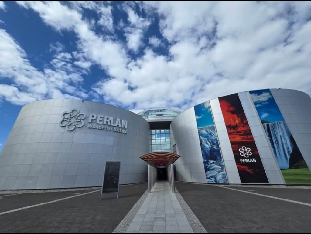
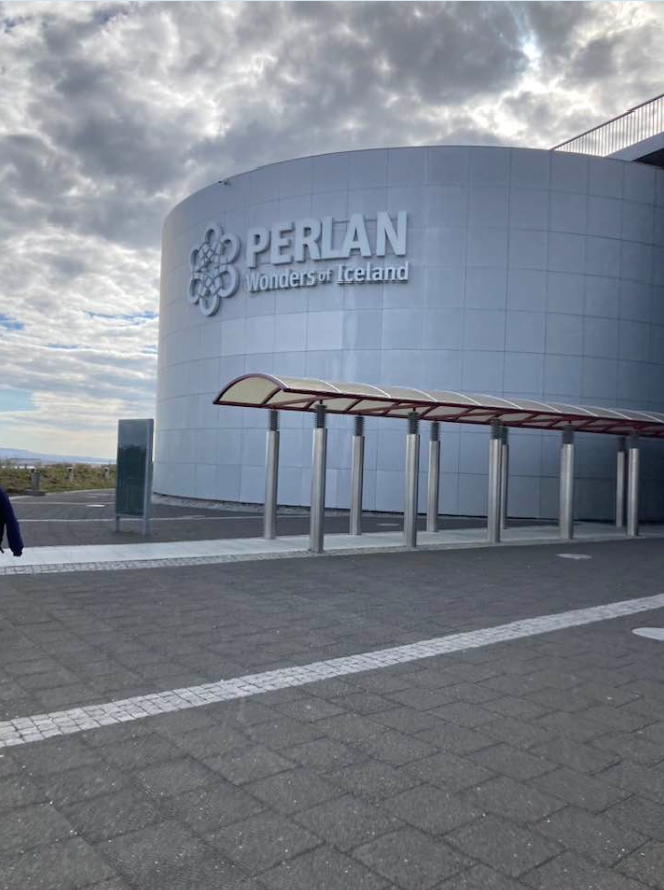
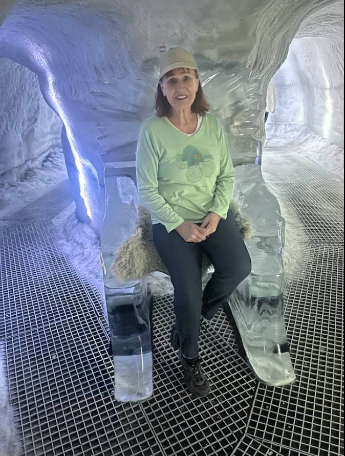
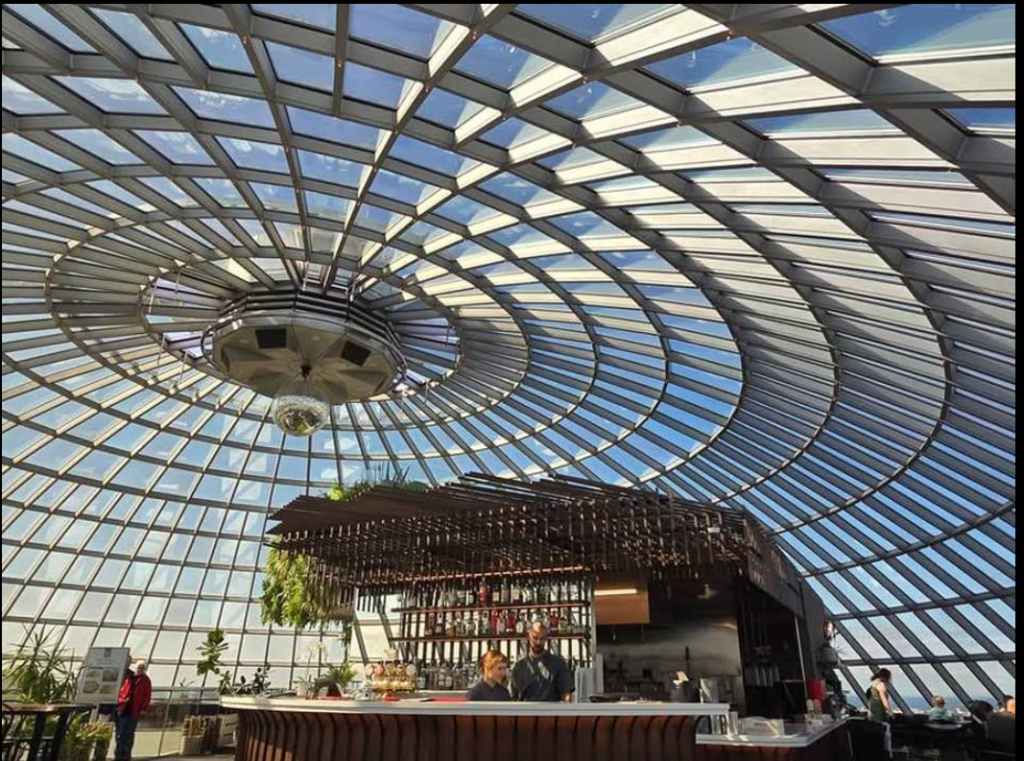
On day two (5-19-2026) we took a bus tour called the Golden Circle and then went to the Perlan exhibit. 

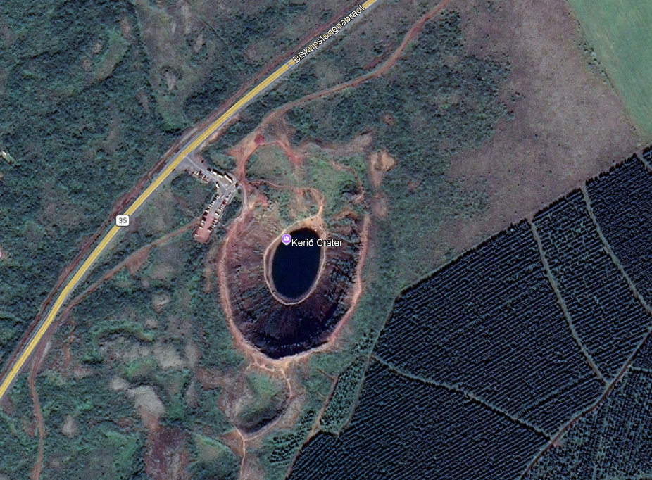
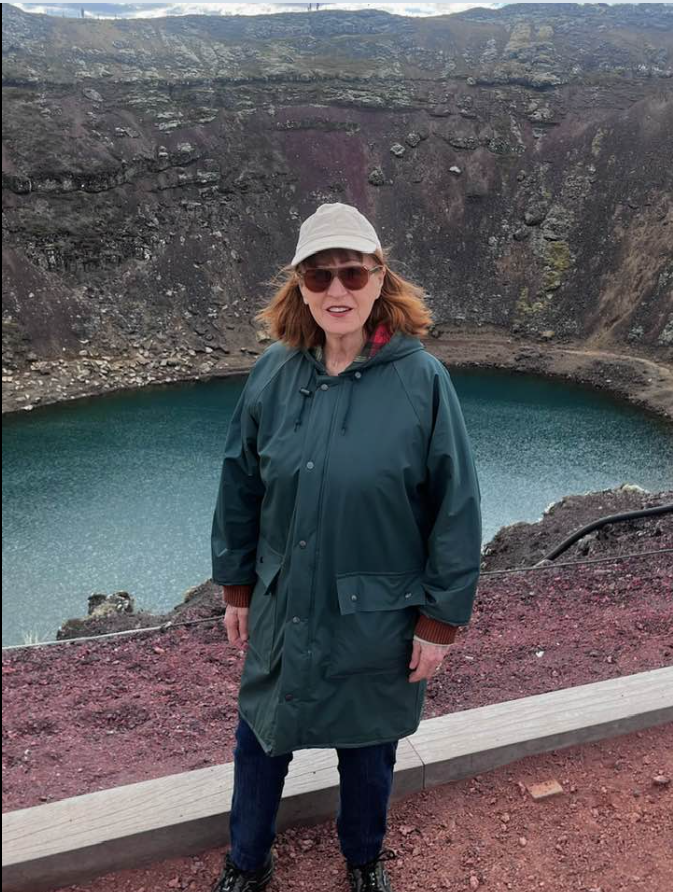
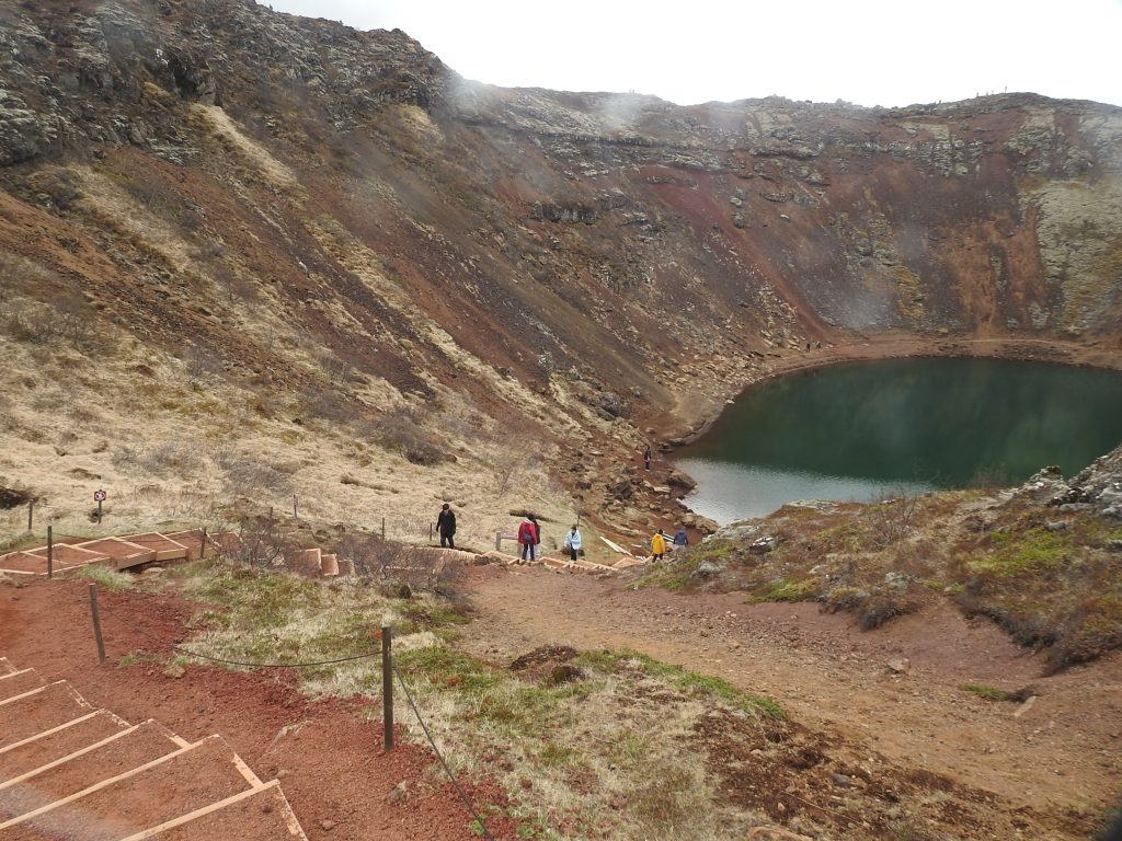
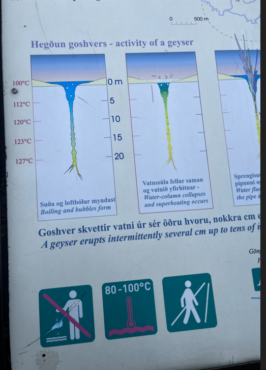
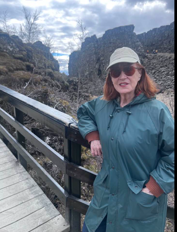
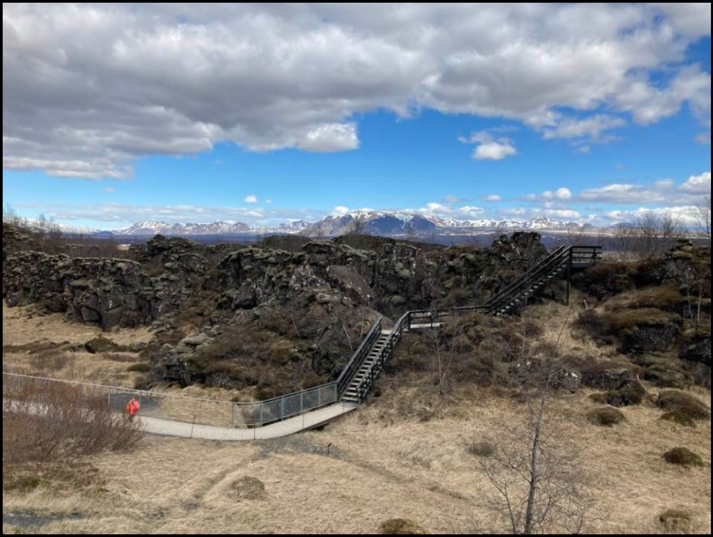
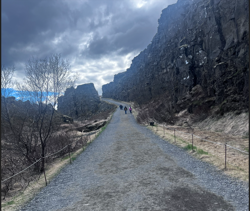
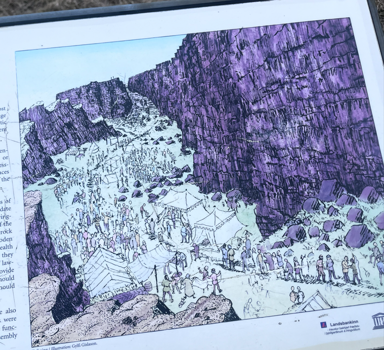
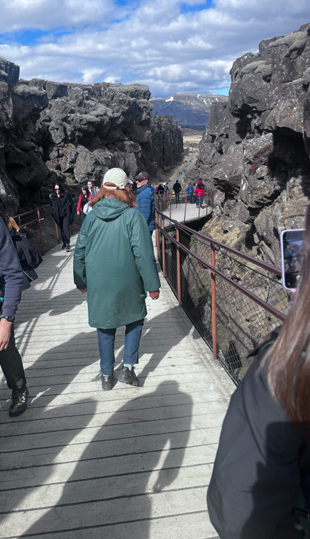
During the tour we saw the geothermal plant that provides hot water to the city, we climbed into a volcano crater, experienced a huge waterfall, saw the geysers, walked between two tectonic plates, then in Perlan walked through a simulated ice cave and experienced a volcano!

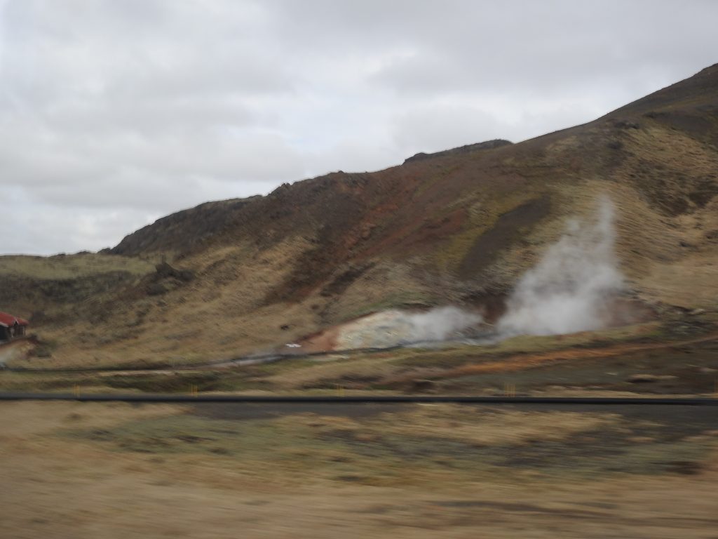
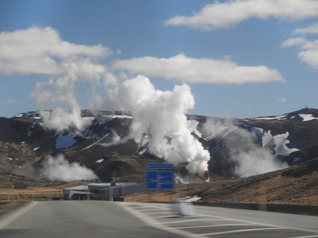
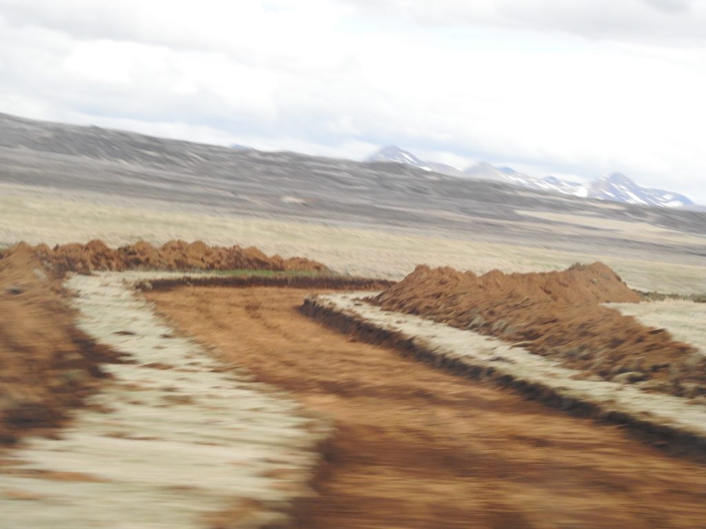
We passed the geothermal plant which supplies hot water (see all the black pipes leading away from the plant below) to all of Iceland. The country has 200 earthquakes a day, minor ones.  Ones 3 on the Richter scale are about once a month. Thirty active volcanoes and many glaciers. We saw a lot of steam rising from the earth. The whole country is solid volcanic rock, very rough lands.

Prices are $50 for a single meal, $10 for a single sandwich in a grocery store, $40 for coffee for Eileen, tea for me and a small pastry.

Geothermal plant
Geothermal uses the magma under the ground to heat water and now they are generating electricity as well!
 

Next we went to Kerið Crater — a stunning volcanic crater lake!

From the below satellite view you can clearly see:

  • The oval-shaped caldera with its distinctive deep red/rust volcanic rock walls — caused by iron-rich minerals in the basalt
  • The dark blue-green lake sitting at the bottom of the crater
  • The walking path that circles the rim
  • A small car park visible to the upper left where visitors enter
  • Route 35 (Biskupstungnabraut) running past it — part of the famous Golden Circle route

Some interesting facts:

  • About 3,000 years old — relatively young by geological standards
  • Roughly 180 ft deep, 550 ft wide, and 900 ft long
  • Unlike many craters, Kerið is thought to have formed when a volcanic cone collapsed inward after its magma emptied, rather than from an explosion
  • Björk famously performed a concert on a floating raft in the crater lake in 2004
A worker was building the steps down to the water.

In order to build a road they dig out several feet of lava rock, then backfill with something that will drain well and be smooth.

An eight wheel vehicle to go up to the glacier.


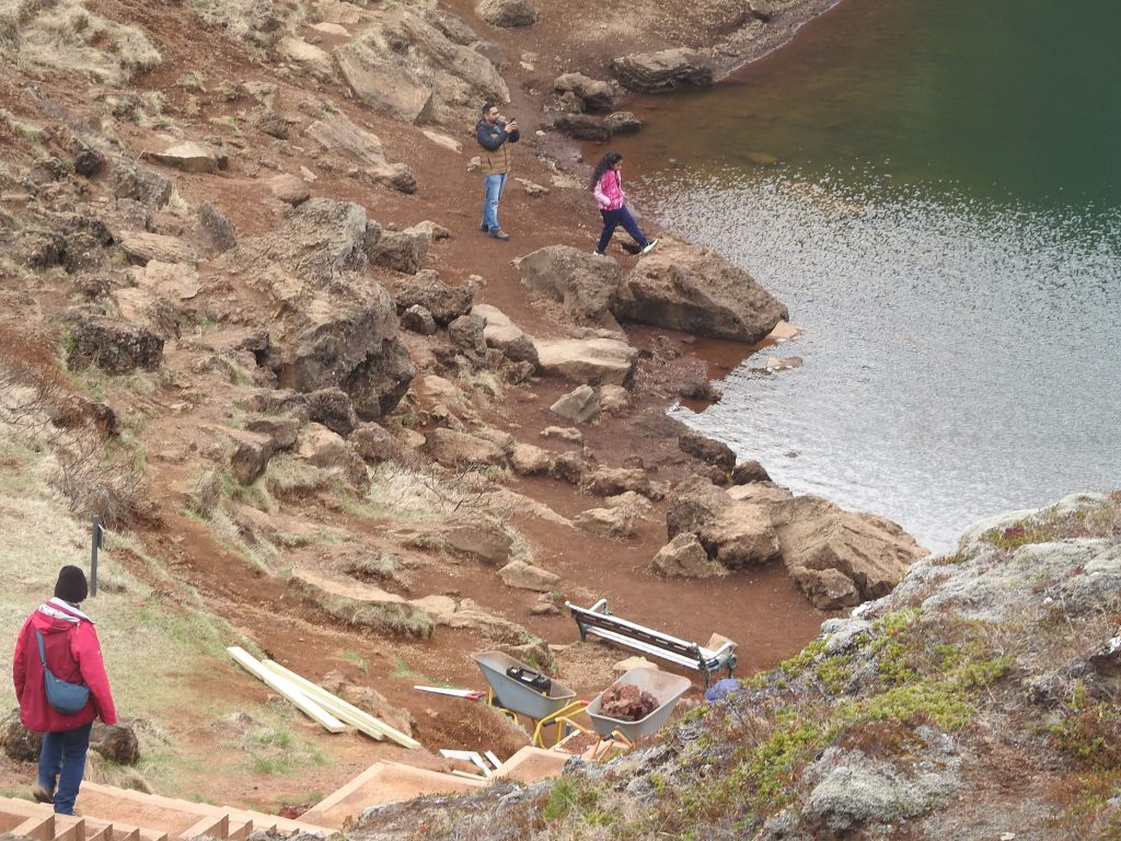
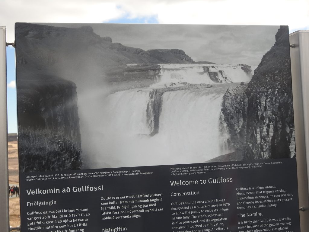
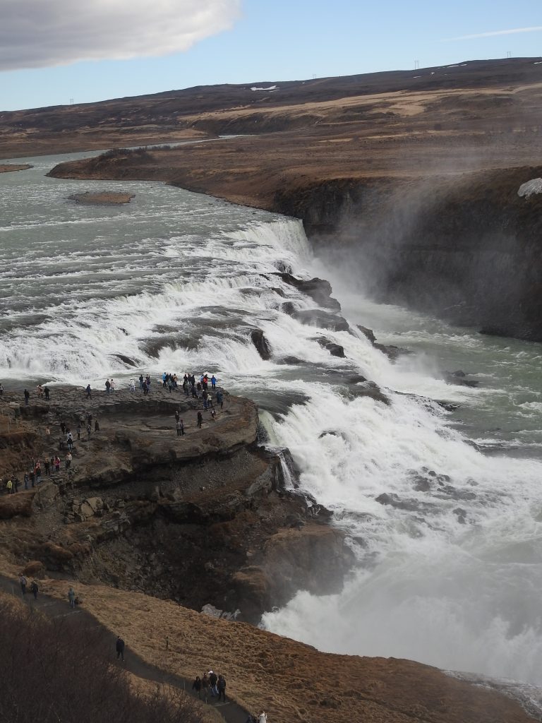
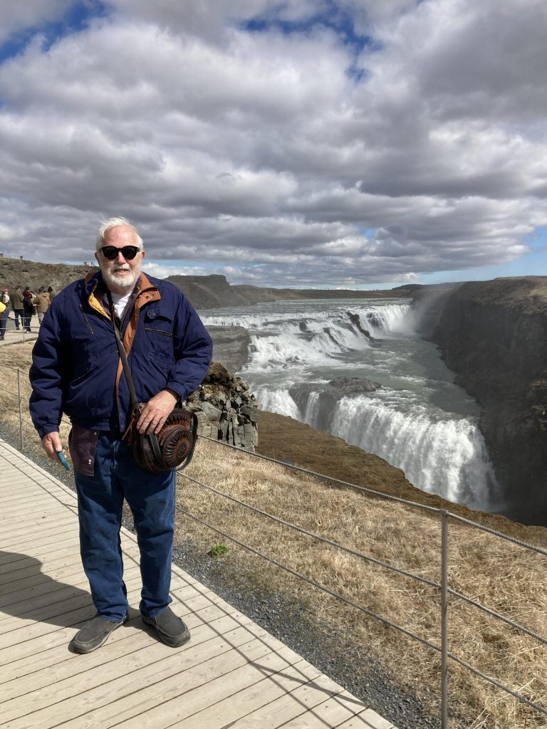
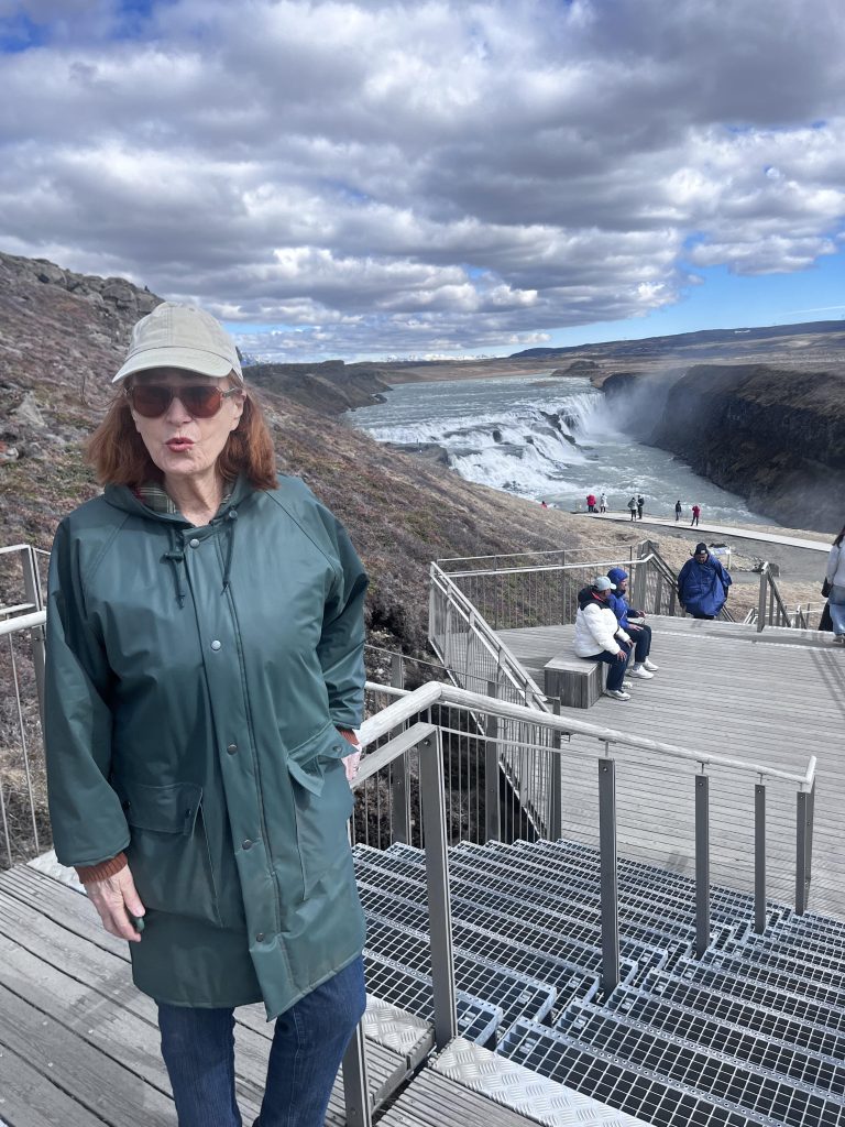
Next along the golden circle is a great waterfall Gullfoss.

“Foss” is the Icelandic Word For Waterfall.

Gullfoss (“Golden Falls”) is one of Iceland’s most iconic and powerful waterfalls, located along the Hvítá River in southwest Iceland as part of the famous Golden Circle route. It features a dramatic, two-tiered drop plunging 105 feet into a rugged, narrow canyon.

Upper set of falls.

Travelling along the 35 highway toward the geysers. Flocks of sheep, geese, horses, small groups. The guide on the bus says that they get snow, but since the winters only get to 30° the snow usually melts in a day or two. All the trees in Iceland were cut down in the 1800’s!
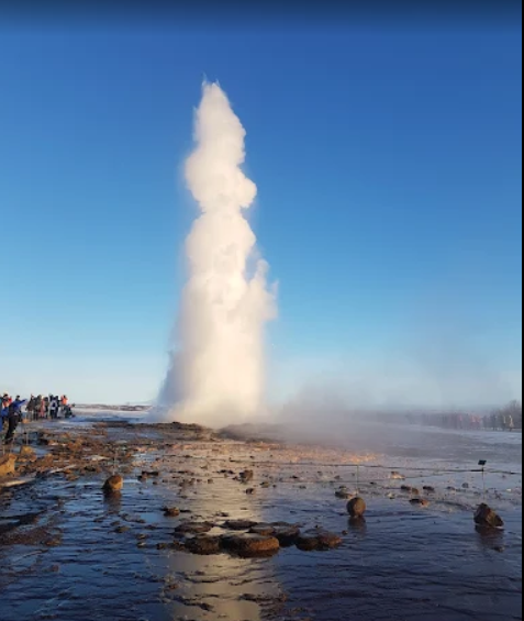
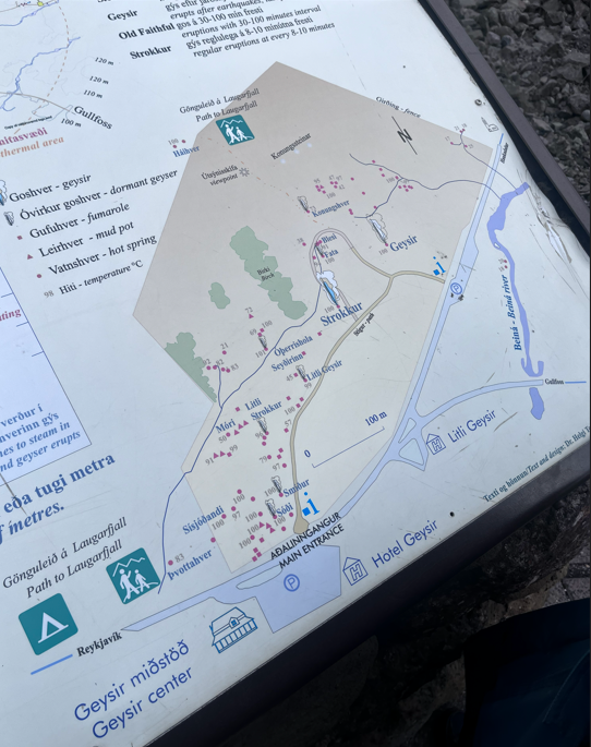
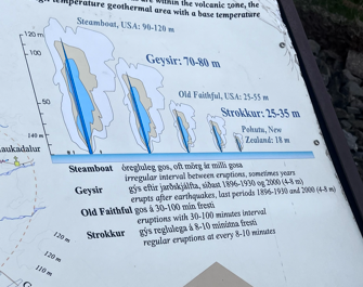
Eileen self photo with a farm in the background.

Strokkur Geyser

Strokkur is a fountain-type geyser located in a geothermal area beside the Hvítá River in Iceland in the southwest part of the country, east of Reykjavík. It typically erupts every 6–10 minutes. Its usual height is 15–20 metres, although it can sometimes erupt up to 40 metres high.

The water running down the hillside is hot!!

Tours to the glaciers and kayaking.
Each red dot is boiling water bubbling up!

Next stop Thingvellir National Park where the earth’s crust is splitting apart! American plate on the left, European plate on the right!

Þingvellir (Thingvellir) is a historic site and national park in Iceland, east of Reykjavík. It’s known for the Alþing (Althing), the site of Iceland’s parliament from the 10th to 18th centuries. On the site are the Þingvellir Church and the ruins of old stone shelters. The park sits in a rift valley caused by the separation of 2 tectonic plates, with rocky cliffs and fissures like the huge Almannagjá fault.

It is the only place on dry land where you can actively walk between the North American and Eurasian continental plates.

Volcanoes follow the split in the earth’s crust!

 This area looks like another planet! The person in red is walking from North America toward Europe!

In ancient times people set up tents here and the leader would read the laws of the land.
Thingvellir National Park in Iceland served as the filming location for several iconic Game of Thrones scenes, predominantly in Season 4. Its dramatic rift valleys, jagged cliffs, and rocky trails were used to portray the Vale of Arryn, the Bloody Gate, and the rugged lands north of the Wall.

On the road back much of the land is desolate.

Only about 1% to 2% of Iceland’s total land area is cultivated for farming and traditional agriculture. The vast majority of the country is barren, rocky, mountainous, or covered by glaciers, with approximately 80% considered completely agriculturally unproductive.


Upon our return we went to the Perlan attraction, a must see when you come.


Perlan: Interactive Nature Museum in Iceland

An amazing place, FIRE and ICE!