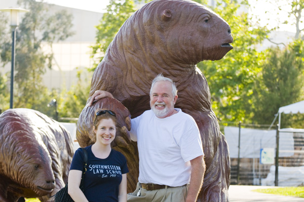
Then down to Los Angeles, Hollywood and Beverly Hills visiting with my niece Stephanie:
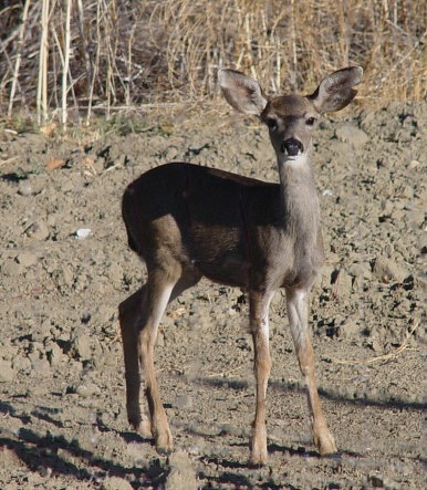
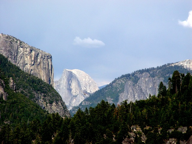
With Stephanie at the Tar Pits.Mount Shasta (Cascades, 14,162 feet), taken from the airplane trip from Don’s to Portland, Oregon.Baby deer at the Paicines ranch.The rolling hills of the ranch, with a river running through.Hills at the northern edge.Hills at the southern edge: just behind these hills, the southern boundary of the ranch is marked by the San Andreas Fault The San Andreas Fault is a continental transform fault that extends roughly 1,200 kilometers through California. It forms the tectonic boundary between the Pacific Plate and the North American Plate, and its motion is right-lateral strike-slip.The river runs through the ranch.One of the many buildings that make up the ranch.Half Dome, if you look closely you can see Donald and his hang glider. Half Dome is a granite dome at the eastern end of Yosemite Valley in Yosemite National Park, CaliforniaVernal falls. Vernal Fall is a 317-foot waterfall on the Merced River just downstream of Nevada Fall in Yosemite National Park, California.